
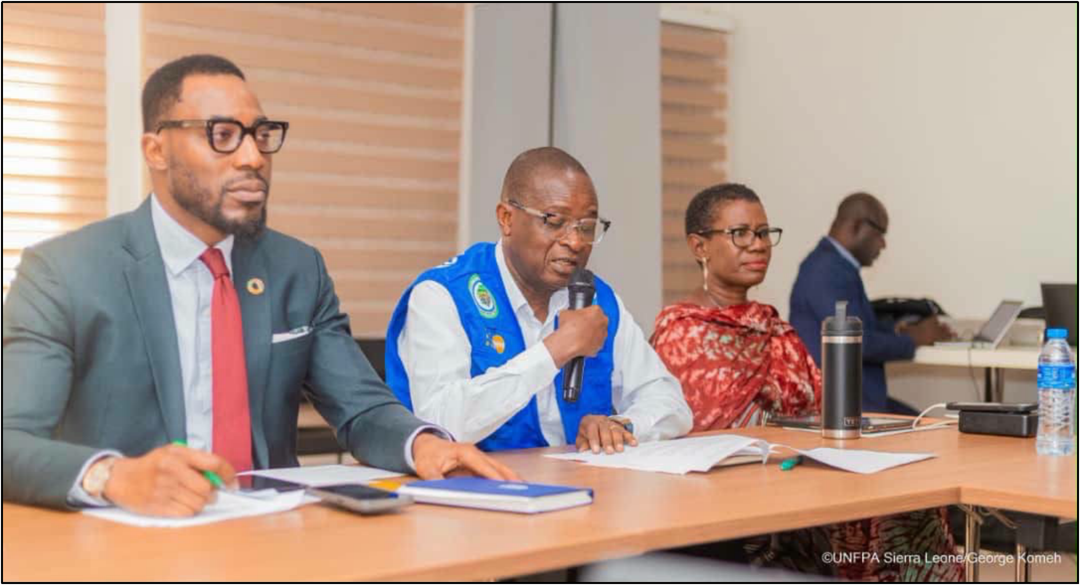
Statistics Sierra Leone (Stats SL) and the United Nations Population Fund (UNFPA) met this week with delegates from the Census Advisory and Technical Committees to present and discuss the recently completed national cartographic mapping exercise that will form the basis for the Population and Housing Census in December 2026. The session, organisers said, was not merely a routine briefing but an opportunity to show what was mapped, how coverage was achieved, and the quality assurance measures used—all critical steps in building public confidence long before enumerators begin fieldwork.
Statistician-General Andrew Bob Johnny opened the meeting, emphasising that mapping was an important part of the census process. “We must know where people live before we can count them,” he said, stressing that the cartographic work is the geographical basis for correct delineation of Enumeration Areas, proper deployment of field staff and good supervision. Stats SA says the mapping exercise, when complete, will help ensure no household or community is missed during the headcount process.
“Accurate and credible data and geographic information are the fundamentals of good governance and national development,” said UNFPA Country Representative Kunle Adeniyi, describing the mapping work as a critical foundation for an accurate, inclusive and credible 2026 census. Adeniyi thanked partners such as the governments of Ireland and Iceland, the UK Government through the Office for National Statistics and UNFPA consultants for their financial and technical support and reaffirmed UNFPA’s continued technical support and partnership with Stats SL.
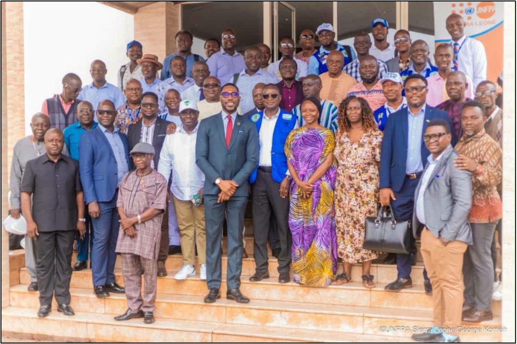
Representatives of Ministries, Departments and Agencies (MDAs), universities, civil society organisations, political parties, members of the Census Advisory and Technical Committee, and development partners attended the meeting. Distinguished guests were Asdis Bjarnadottir, Head of Mission, Embassy of Iceland in Sierra Leone; Josephus J. Ellie, Senior Governance Advisor, Embassy of Ireland in Sierra Leone; and Stats SL leadership. The event’s consultative nature was reflected in the political participation: the All People’s Congress (APC) delegation included Freetown Mayor Yvonne Aki-Sawyerr, Peter Banguru and Leonard Balogun Koroma. At the same time, Publicity Relations Officer Moses Mambu and Ahmed Saybom Kanu represented the Sierra Leone People’s Party (SLPP).
GIS and Cartographic Mapping Specialist Dr Foluke Adebayo presented a detailed overview and simulated national coverage and results of the mapping exercise. The committee members congratulated the team on the comprehensive demonstration, commenting on the clarity of the methodology and the team’s willingness to explain processes and results. The presentation covered the extent of the mapping, how Enumeration Areas were defined, the national coverage achieved, the technical methods used, and the quality assurance checks implemented to validate the outputs.
The session discussion focused on accuracy, credibility, transparency, and inclusivity. Stakeholders asked questions, shared observations, and offered suggestions to strengthen remaining preparations. The discussion covered methods for ensuring coverage in remote and rapidly changing urban areas, procedures for updating maps and Enumeration Areas between the mapping exercise and the census, and measures to document and inform the public of mapping decisions.
Stats SA said the stakeholder engagement was part of its broader commitment to transparency throughout the census process. Public trust is established well before enumeration, said officials, and walking stakeholders through the mapping results enables the census to be built on a visible, inspectable foundation. Organisers hope that by sharing successes, challenges and lessons learned, they can avoid disputes and gaps that could undermine confidence and the quality of census results.
As Sierra Leone moves into the next phase of preparations, Stats SL reaffirms its determination to work closely with all stakeholders and conform to international statistical standards. Organisers emphasised that for a country about to census every household, the true value of cartographic work lies less in the maps produced than in the disputes and doubts it helps prevent.
